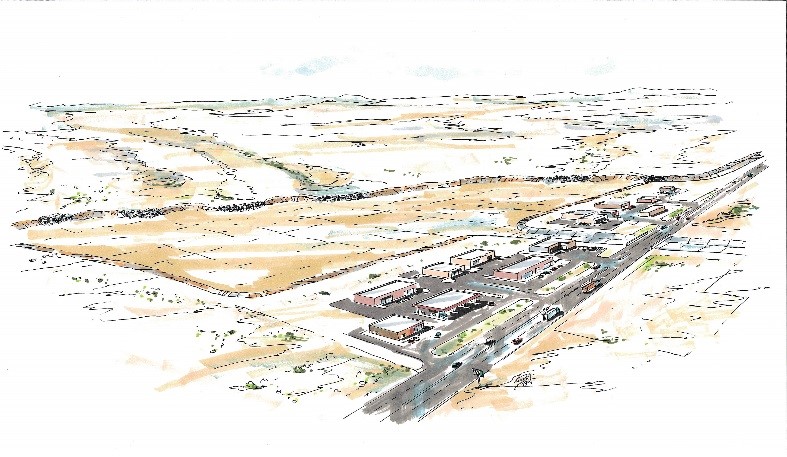
The New Mexico Border Authority, in cooperation with Wilson & Company, Inc., Engineers & Architects (Wilson & Company), is under design on a multi-faceted floodwater diversion system in Luna County. The flood control project will protect the Columbus Land Port of Entry (LPOE), infrastructure for State Road 11 (NM 11), and businesses and local residents on both sides of the international boundary between the United States and Mexico.

Components of the proposed system include a diversion berm approximately 3.1 miles in length, a new approximately 200-foot long bridge for NM 11, and a stormwater detention basin close to 620 acre-feet in total volume located approximately 400 feet west of NM-11 and approximately 4,500 feet north of the international boundary. The project also includes two pads for future commercial development that are about 39 acres in area, between the proposed detention basin and NM 11. In the existing condition, the LPOE site and NM 11 are prone to flooding after significant rainfall events. The purpose of the proposed project is to mitigate the potential for this flooding.
The proposed detention basin will collect and consolidate runoff from a 32-square mile watershed. The runoff is spread over a broad area as shallow concentrated flow as it approaches NM 11 and the LPOE. Consolidation of the runoff will allow it to be passed under NM 11 in an economical and maintainable manner, while also meeting the drainage design criteria set by the New Mexico Department of Transportation. An approximately 200 foot wide channel will serve as the un-gated outlet and emergency spillway for the facility.
